
Make a donation
Afrin topographic map
Click on the map to display elevation.
Make a donation
Afrin
In August 2015, the University of Afrin started teaching, with initial programs in literature, engineering and economics, including institutes for medicine, topographic engineering, music and theater, business administration and the Kurdish language. In January 2018, the university closed due to Operation Olive Branch and did not open after the city was captured by Turkish-backed forces. In October 2019, Turkey announced that the University of Gaziantep will open a Faculty of Education in Afrin. In February 2019, it was reported that Turkey was assuming control over the educational matters in Afrin, providing training to teachers and turkifiying the curriculum taught in the schools. BBC also reported that Turkey enabled the establishment of a religious İmam Hatip school in Afrin.
Make a donation
About this map
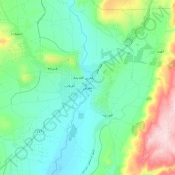
Name: Afrin topographic map, elevation, terrain.
Average elevation: 309 m
Minimum elevation: 207 m
Maximum elevation: 575 m
Make a donation
Other topographic maps
Click on a map to view its topography, its elevation and its terrain.
Make a donation
Make a donation
Make a donation