
Thank you for supporting this site ❤️
Make a donation
Make a donation
El Coyul topographic map
Click on the map to display elevation.
Thank you for supporting this site ❤️
Make a donation
Make a donation
About this map
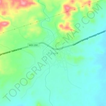
Name: El Coyul topographic map, elevation, terrain.
Location: El Coyul, San Pedro Huamelula, Oaxaca, México (15.89472 -95.83028 15.93472 -95.79028)
Average elevation: 39 m
Minimum elevation: 3 m
Maximum elevation: 129 m
Thank you for supporting this site ❤️
Make a donation
Make a donation