
Thank you for supporting this site ❤️
Make a donation
Make a donation
Hunt City topographic map
Click on the map to display elevation.
Thank you for supporting this site ❤️
Make a donation
Make a donation
About this map
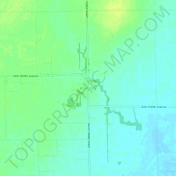
Name: Hunt City topographic map, elevation, terrain.
Location: Hunt City, Jasper County, Illinois, United States (39.03115 -88.04337 39.07115 -88.00337)
Average elevation: 159 m
Minimum elevation: 152 m
Maximum elevation: 168 m
Thank you for supporting this site ❤️
Make a donation
Make a donation
Other topographic maps
Click on a map to view its topography, its elevation and its terrain.