
Thank you for supporting this site ❤️
Make a donation
Make a donation
Kankakee topographic map
Click on the map to display elevation.
Thank you for supporting this site ❤️
Make a donation
Make a donation
About this map
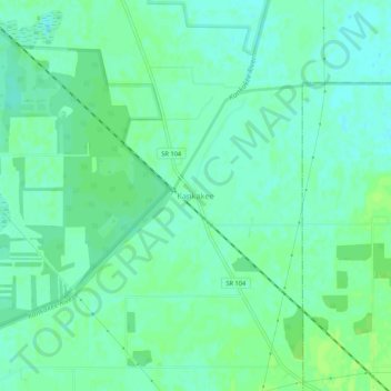
Name: Kankakee topographic map, elevation, terrain.
Location: Kankakee, LaPorte County, Indiana, United States (41.48838 -86.55946 41.52838 -86.51946)
Average elevation: 210 m
Minimum elevation: 205 m
Maximum elevation: 215 m
Thank you for supporting this site ❤️
Make a donation
Make a donation
Other topographic maps
Click on a map to view its topography, its elevation and its terrain.
Thank you for supporting this site ❤️
Make a donation
Make a donation
Thank you for supporting this site ❤️
Make a donation
Make a donation