
Thank you for supporting this site ❤️
Make a donation
Make a donation
Meneses topographic map
Click on the map to display elevation.
Thank you for supporting this site ❤️
Make a donation
Make a donation
About this map
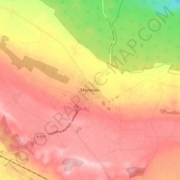
Name: Meneses topographic map, elevation, terrain.
Location: Meneses, Yaguajay, Sancti Spiritus, Cuba (22.21606 -79.30189 22.29606 -79.22189)
Average elevation: 213 m
Minimum elevation: 82 m
Maximum elevation: 285 m
Thank you for supporting this site ❤️
Make a donation
Make a donation
Other topographic maps
Click on a map to view its topography, its elevation and its terrain.