
Thank you for supporting this site ❤️
Make a donation
Make a donation
Bustin topographic map
Click on the map to display elevation.
Thank you for supporting this site ❤️
Make a donation
Make a donation
About this map
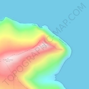
Name: Bustin topographic map, elevation, terrain.
Location: Bustin, Froðba, Suðuroyar sýsla, 825, Færøerne (61.57404 -6.76767 61.57414 -6.76757)
Average elevation: 132 m
Minimum elevation: 0 m
Maximum elevation: 473 m
Thank you for supporting this site ❤️
Make a donation
Make a donation