Geolocate

Fereej Bin Omran topographic map

Interactive map

Click on the map to display elevation.

About this map

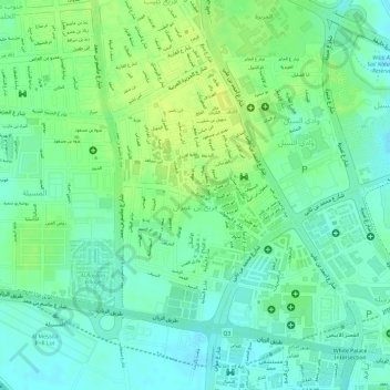
Name: Fereej Bin Omran topographic map, elevation, terrain.

Location: Fereej Bin Omran, Doha, Qatar (25.29221 51.48823 25.31086 51.50234)

Average elevation: 19 m

Minimum elevation: 9 m

Maximum elevation: 28 m

Other topographic maps

Click on a map to view its topography, its elevation and its terrain.

Wadi Al Sail

Qatar > Doha

Wadi Al Sail, Doha, Qatar

Average elevation: 16 m

al Koot Fort

Qatar > Doha

al Koot Fort, Jasim Bin Mohammed Street, Al Jasra, Doha, Qatar

Average elevation: 9 m

Doha Port

Qatar > Doha

Doha Port, Doha, Qatar

Average elevation: 1 m