
San Javier topographic map
Interactive map
Click on the map to display elevation.
About this map
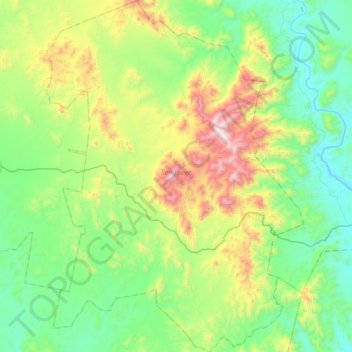
Name: San Javier topographic map, elevation, terrain.
Location: San Javier, Sonora, 85620, Mexico (28.45895 -109.88015 28.76412 -109.62572)
Average elevation: 515 m
Minimum elevation: 177 m
Maximum elevation: 1,363 m
Other topographic maps
Click on a map to view its topography, its elevation and its terrain.