
Thank you for supporting this site ❤️
Make a donation
Make a donation
FELDA Tenggaroh 2 topographic map
Click on the map to display elevation.
Thank you for supporting this site ❤️
Make a donation
Make a donation
About this map
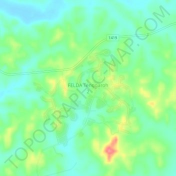
Name: FELDA Tenggaroh 2 topographic map, elevation, terrain.
Location: FELDA Tenggaroh 2, Mersing, Johor, Malaysia (2.06273 103.92436 2.10273 103.96436)
Average elevation: 37 m
Minimum elevation: 12 m
Maximum elevation: 91 m
Thank you for supporting this site ❤️
Make a donation
Make a donation
Other topographic maps
Click on a map to view its topography, its elevation and its terrain.
Thank you for supporting this site ❤️
Make a donation
Make a donation