
Sanradela topographic map
Interactive map
Click on the map to display elevation.
About this map
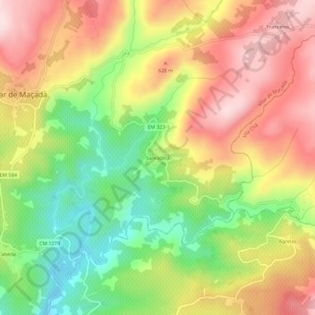
Name: Sanradela topographic map, elevation, terrain.
Location: Sanradela, Vilar de Maçada, Alijó, Vila Real, Portugal (41.29850 -7.55432 41.33850 -7.51432)
Average elevation: 533 m
Minimum elevation: 349 m
Maximum elevation: 709 m