
白纸坊街道 topographic map
Interactive map
Click on the map to display elevation.
About this map
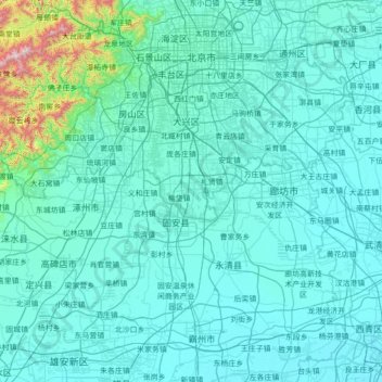
Name: 白纸坊街道 topographic map, elevation, terrain.
Location: 白纸坊街道, 首都功能核心区, 西城区, 北京市, 100032, 中国 (39.17071 116.34337 39.88193 117.73712)
Average elevation: 86 m
Minimum elevation: 0 m
Maximum elevation: 1,620 m
Other topographic maps
Click on a map to view its topography, its elevation and its terrain.