
Thank you for supporting this site ❤️
Make a donation
Make a donation
Rastoke topographic map
Click on the map to display elevation.
Thank you for supporting this site ❤️
Make a donation
Make a donation
About this map
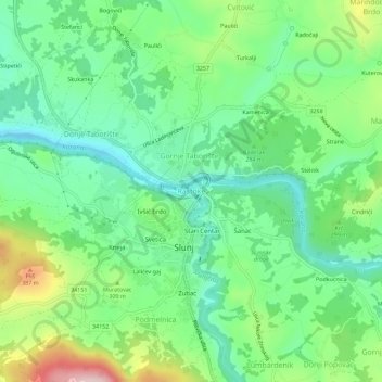
Name: Rastoke topographic map, elevation, terrain.
Location: Rastoke, Grad Slunj, Regione di Karlovac, 47240, Croazia (45.10026 15.56600 45.14026 15.60600)
Average elevation: 277 m
Minimum elevation: 196 m
Maximum elevation: 447 m
Thank you for supporting this site ❤️
Make a donation
Make a donation