
Thank you for supporting this site ❤️
Make a donation
Make a donation
Runyinya topographic map
Click on the map to display elevation.
Thank you for supporting this site ❤️
Make a donation
Make a donation
About this map
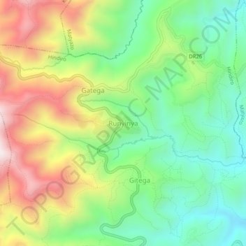
Name: Runyinya topographic map, elevation, terrain.
Location: Runyinya, Hindiro, Ngororero, Western Province, Rwanda (-1.80865 29.58557 -1.76865 29.62557)
Average elevation: 1,932 m
Minimum elevation: 1,627 m
Maximum elevation: 2,390 m
Thank you for supporting this site ❤️
Make a donation
Make a donation