
Thank you for supporting this site ❤️
Make a donation
Make a donation
Hindenburg topographic map
Click on the map to display elevation.
Thank you for supporting this site ❤️
Make a donation
Make a donation
Hindenburg
Es gibt keine sicheren Beweise für die Lage einer namengebenden Burg. Vermutet wird sie im Westteil des Dorfes auf einer nach Nordwesten vorspringenden Anhöhe unmittelbar westlich der Kirche. Wahrscheinlich war es eine ovale Höhenburg von etwa 70 × 90 Meter im Durchmesser mit vorgelegtem Graben. Im 19. Jahrhundert waren Wall und Graben einer Burg noch sichtbar.
Thank you for supporting this site ❤️
Make a donation
Make a donation
About this map
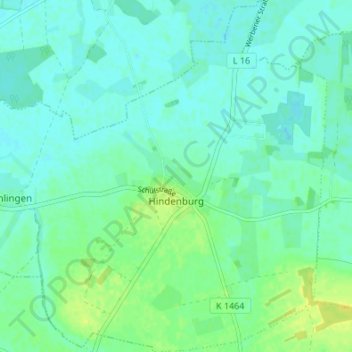
Name: Hindenburg topographic map, elevation, terrain.
Average elevation: 29 m
Minimum elevation: 23 m
Maximum elevation: 41 m
Thank you for supporting this site ❤️
Make a donation
Make a donation