
Thank you for supporting this site ❤️
Make a donation
Make a donation
Erichshof topographic map
Click on the map to display elevation.
Thank you for supporting this site ❤️
Make a donation
Make a donation
About this map
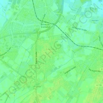
Name: Erichshof topographic map, elevation, terrain.
Location: Erichshof, Weyhe, Landkreis Diepholz, Niedersachsen, Deutschland (52.98612 8.78138 53.00215 8.80272)
Average elevation: 10 m
Minimum elevation: 3 m
Maximum elevation: 14 m
Thank you for supporting this site ❤️
Make a donation
Make a donation
Other topographic maps
Click on a map to view its topography, its elevation and its terrain.