
Manganié topographic map
Interactive map
Click on the map to display elevation.
About this map
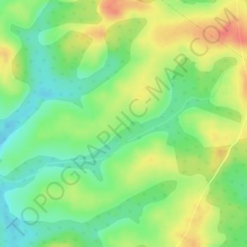
Name: Manganié topographic map, elevation, terrain.
Location: Manganié, Mbandjock, Haute-Sanaga, CE, Cameroun (4.58396 11.93287 4.59798 11.96271)
Average elevation: 583 m
Minimum elevation: 550 m
Maximum elevation: 620 m