
Thank you for supporting this site ❤️
Make a donation
Make a donation
Junne topographic map
Click on the map to display elevation.
Thank you for supporting this site ❤️
Make a donation
Make a donation
About this map
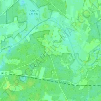
Name: Junne topographic map, elevation, terrain.
Location: Junne, Ommen, Overijssel, Nederland, 7731 TR, Nederland (52.49895 6.47087 52.53895 6.51087)
Average elevation: 7 m
Minimum elevation: 2 m
Maximum elevation: 13 m
Thank you for supporting this site ❤️
Make a donation
Make a donation
Other topographic maps
Click on a map to view its topography, its elevation and its terrain.