
Thank you for supporting this site ❤️
Make a donation
Make a donation
Totolan topographic map
Click on the map to display elevation.
Thank you for supporting this site ❤️
Make a donation
Make a donation
About this map
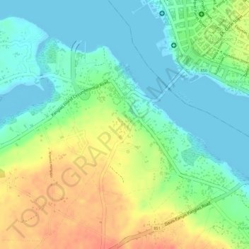
Name: Totolan topographic map, elevation, terrain.
Location: Totolan, Dauis, Bohol, Central Visayas, 6339, Philippines (9.62284 123.83907 9.64176 123.85714)
Average elevation: 22 m
Minimum elevation: -4 m
Maximum elevation: 53 m
Thank you for supporting this site ❤️
Make a donation
Make a donation