
Ouled Haddadj topographic map
Interactive map
Click on the map to display elevation.
About this map
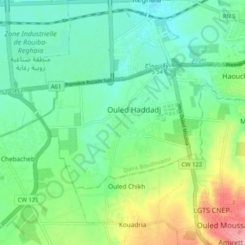
Name: Ouled Haddadj topographic map, elevation, terrain.
Location: Ouled Haddadj, Daïra Boudouaou, Boumerdès, 35043, RADP (36.69421 3.31109 36.72557 3.38272)
Average elevation: 44 m
Minimum elevation: 7 m
Maximum elevation: 127 m