
Cartelle topographic map
Interactive map
Click on the map to display elevation.
About this map
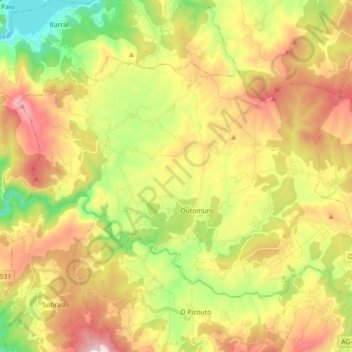
Name: Cartelle topographic map, elevation, terrain.
Location: Cartelle, Terra da Celanova, Ourense, Galicië, Spanje (42.19225 -8.11370 42.28278 -7.93524)
Average elevation: 396 m
Minimum elevation: 69 m
Maximum elevation: 776 m