
Kolmkar (Kohlenkar) topographic map
Interactive map
Click on the map to display elevation.
About this map
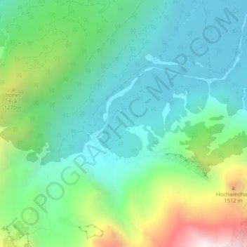
Name: Kolmkar (Kohlenkar) topographic map, elevation, terrain.
Average elevation: 927 m
Minimum elevation: 594 m
Maximum elevation: 1,818 m
Other topographic maps
Click on a map to view its topography, its elevation and its terrain.
In der Röll
Österreich > Oberösterreich > Bezirk Gmunden > Grünau im Almtal
In der Röll, Grünau im Almtal, Bezirk Gmunden, Oberösterreich, 4645, Österreich
Average elevation: 1,120 m
Almsee
Österreich > Oberösterreich > Bezirk Gmunden > Grünau im Almtal
Almsee, Grünau im Almtal, Bezirk Gmunden, Oberösterreich, 4645, Österreich
Average elevation: 732 m