
Thank you for supporting this site ❤️
Make a donation
Make a donation
Sulingen topographic map
Click on the map to display elevation.
Thank you for supporting this site ❤️
Make a donation
Make a donation
About this map
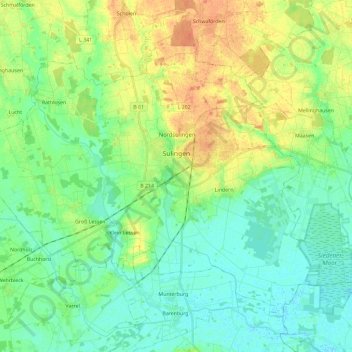
Name: Sulingen topographic map, elevation, terrain.
Location: Sulingen, Landkreis Diepholz, Lower Saxony, 27232, Germany (52.61733 8.65793 52.72997 8.89059)
Average elevation: 44 m
Minimum elevation: 31 m
Maximum elevation: 65 m
Thank you for supporting this site ❤️
Make a donation
Make a donation
Other topographic maps
Click on a map to view its topography, its elevation and its terrain.