
Schieren topographic map
Interactive map
Click on the map to display elevation.
About this map
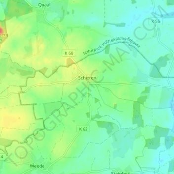
Name: Schieren topographic map, elevation, terrain.
Location: Schieren, Trave-Land, Segeberg, Sleeswijk-Holstein, Duitsland (53.93115 10.36416 53.95302 10.43485)
Average elevation: 42 m
Minimum elevation: 26 m
Maximum elevation: 77 m