
Thank you for supporting this site ❤️
Make a donation
Make a donation
La Garguera topographic map
Click on the map to display elevation.
Thank you for supporting this site ❤️
Make a donation
Make a donation
About this map
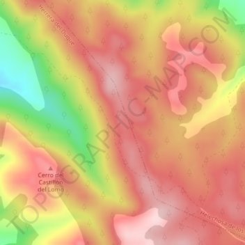
Name: La Garguera topographic map, elevation, terrain.
Location: La Garguera, Herrera del Duque, Badajoz, Extremadura, España (39.30068 -4.98304 39.32068 -4.96304)
Average elevation: 606 m
Minimum elevation: 443 m
Maximum elevation: 692 m
Thank you for supporting this site ❤️
Make a donation
Make a donation