
Thank you for supporting this site ❤️
Make a donation
Make a donation
Yowee topographic map
Click on the map to display elevation.
Thank you for supporting this site ❤️
Make a donation
Make a donation
About this map
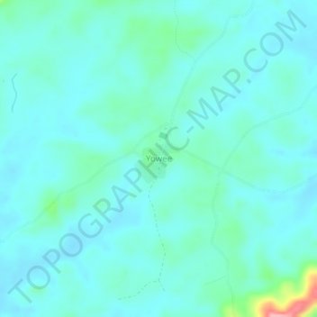
Name: Yowee topographic map, elevation, terrain.
Location: Yowee, Zota, Bong County, Liberia (7.16240 -9.33095 7.20240 -9.29095)
Average elevation: 308 m
Minimum elevation: 289 m
Maximum elevation: 413 m
Thank you for supporting this site ❤️
Make a donation
Make a donation