
Thank you for supporting this site ❤️
Make a donation
Make a donation
Dudswell topographic map
Click on the map to display elevation.
Thank you for supporting this site ❤️
Make a donation
Make a donation
About this map
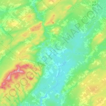
Name: Dudswell topographic map, elevation, terrain.
Location: Dudswell, Le Haut-Saint-François, Estrie, Quebec, Canada (45.50039 -71.71563 45.71285 -71.46211)
Average elevation: 309 m
Minimum elevation: 196 m
Maximum elevation: 636 m
Thank you for supporting this site ❤️
Make a donation
Make a donation
Other topographic maps
Click on a map to view its topography, its elevation and its terrain.