
Thank you for supporting this site ❤️
Make a donation
Make a donation
Canyon topographic map
Click on the map to display elevation.
Thank you for supporting this site ❤️
Make a donation
Make a donation
About this map
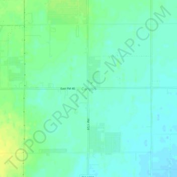
Name: Canyon topographic map, elevation, terrain.
Location: Canyon, Lubbock County, Texas, United States (33.57286 -101.75155 33.61286 -101.71155)
Average elevation: 965 m
Minimum elevation: 958 m
Maximum elevation: 976 m
Thank you for supporting this site ❤️
Make a donation
Make a donation
Other topographic maps
Click on a map to view its topography, its elevation and its terrain.