
Île du Rohrschollen topographic map
Interactive map
Click on the map to display elevation.
About this map
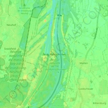
Name: Île du Rohrschollen topographic map, elevation, terrain.
Average elevation: 141 m
Minimum elevation: 129 m
Maximum elevation: 157 m
Other topographic maps
Click on a map to view its topography, its elevation and its terrain.
Réserve naturelle de l'île du Rohrschollen
France > Grand Est > Strasbourg
Réserve naturelle de l'île du Rohrschollen, L'Eau qui Tourne, Stockfeld, Strasbourg, Bas-Rhin, Grand Est, France métropolitaine, 67 100, France
Average elevation: 141 m