
Thank you for supporting this site ❤️
Make a donation
Make a donation
San Antonito topographic map
Click on the map to display elevation.
Thank you for supporting this site ❤️
Make a donation
Make a donation
About this map
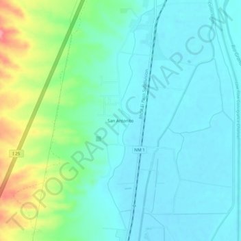
Name: San Antonito topographic map, elevation, terrain.
Location: San Antonito, Socorro County, New Mexico, United States (33.87286 -106.89448 33.91286 -106.85448)
Average elevation: 1,403 m
Minimum elevation: 1,379 m
Maximum elevation: 1,480 m
Thank you for supporting this site ❤️
Make a donation
Make a donation