
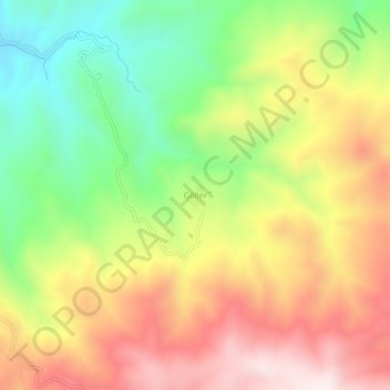
Göller topographic map
Interactive map
Click on the map to display elevation.
About this map
Name: Göller topographic map, elevation, terrain.
Location: Göller, Sungurlu, Çorum, Schwarzmeerregion, Türkei (40.03301 34.38623 40.07301 34.42623)
Average elevation: 1,284 m
Minimum elevation: 941 m
Maximum elevation: 1,644 m