
Make a donation
La Luz topographic map
Click on the map to display elevation.
Make a donation
La Luz
The largest employer in the surrounding area is Holloman Air Force Base. La Luz itself is largely residential and agricultural in land use but a small market is located on the state maintained road that connects the village to Highway 70. La Luz has long been known for the many fruits that are grown in the area including figs, apricots, plums and peaches. Apples, cherries, and pears are grown in the higher elevations in the canyon areas to the east of the village. The surrounding area also has a number of vineyards and pistachio groves. A number of artists also reside in the area.
Make a donation
About this map
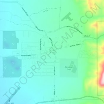
Name: La Luz topographic map, elevation, terrain.
Location: La Luz, Otero County, New Mexico, 88337, United States (32.95711 -105.96352 32.99711 -105.92352)
Average elevation: 1,452 m
Minimum elevation: 1,380 m
Maximum elevation: 1,741 m
Make a donation
Other topographic maps
Click on a map to view its topography, its elevation and its terrain.
White Sands National Park
United States > New Mexico > Otero County
The first US Army exploration of south-central New Mexico was led by a party of topographical engineering officers in 1849. They passed west of the San Andres Mountains and Organ Mountains. A lieutenant was dispatched east across the basin with a scouting party to map a potential military wagon route to the…
Average elevation: 1,214 m