
Thank you for supporting this site ❤️
Make a donation
Make a donation
Frey topographic map
Click on the map to display elevation.
Thank you for supporting this site ❤️
Make a donation
Make a donation
About this map
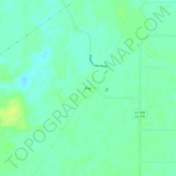
Name: Frey topographic map, elevation, terrain.
Location: Frey, Acadia Parish, Louisiana, United States (30.38215 -92.46486 30.42215 -92.42486)
Average elevation: 12 m
Minimum elevation: 6 m
Maximum elevation: 20 m
Thank you for supporting this site ❤️
Make a donation
Make a donation
Other topographic maps
Click on a map to view its topography, its elevation and its terrain.