
Bracht topographic map
Interactive map
Click on the map to display elevation.
About this map
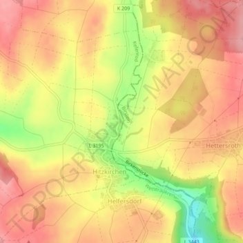
Name: Bracht topographic map, elevation, terrain.
Average elevation: 343 m
Minimum elevation: 267 m
Maximum elevation: 385 m
Other topographic maps
Click on a map to view its topography, its elevation and its terrain.
Bracht
Deutschland > Hessen > Kefenrod
Bracht, Kefenrod, Wetteraukreis, Regierungsbezirk Darmstadt, Hessen, 63699, Deutschland
Average elevation: 338 m