
Thank you for supporting this site ❤️
Make a donation
Make a donation
Elmhurst topographic map
Click on the map to display elevation.
Thank you for supporting this site ❤️
Make a donation
Make a donation
Elmhurst
Due to local topography, the town has had a tendency to flood in the past after large rainfalls; the city is currently undertaking a large effort to mitigate future flooding.
Thank you for supporting this site ❤️
Make a donation
Make a donation
About this map
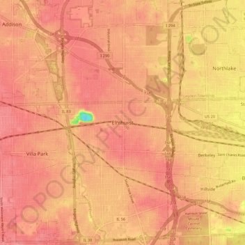
Name: Elmhurst topographic map, elevation, terrain.
Location: Elmhurst, DuPage County, Illinois, 60126, United States (41.85947 -87.98034 41.93947 -87.90034)
Average elevation: 207 m
Minimum elevation: 149 m
Maximum elevation: 224 m
Thank you for supporting this site ❤️
Make a donation
Make a donation