
Biévène topographic map
Interactive map
Click on the map to display elevation.
About this map
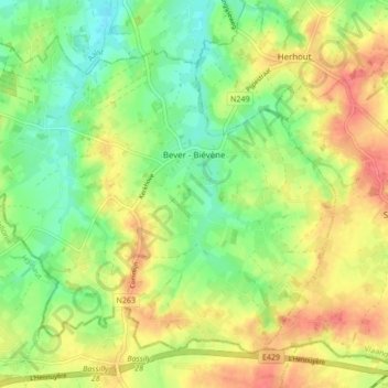
Name: Biévène topographic map, elevation, terrain.
Location: Biévène, Hal-Vilvorde, Brabant flamand, Flandre, 1547, Belgique (50.68897 3.88932 50.73301 3.97417)
Average elevation: 49 m
Minimum elevation: 21 m
Maximum elevation: 81 m