
El Cerrote topographic map
Interactive map
Click on the map to display elevation.
About this map
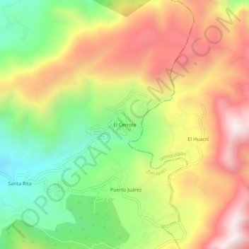
Name: El Cerrote topographic map, elevation, terrain.
Location: El Cerrote, Zimapán, Hidalgo, Mexico (20.63778 -99.30500 20.67778 -99.26500)
Average elevation: 2,511 m
Minimum elevation: 2,058 m
Maximum elevation: 2,981 m