
Make a donation
Dobrinishte topographic map
Click on the map to display elevation.
Make a donation
Dobrinishte
Dobrinishte (Bulgarian: Добринище [dobˈriniʃtɛ]) is a small town and ski resort in the Blagoevgrad Province, Bansko Municipality, southwestern Bulgaria. As of 2006 it had 2973 inhabitants. It is located 6 km east of Bansko, a famous winter resort. It has an altitude of 850 m and is surrounded by the Rila, Pirin, and Rhodope mountains. Dobrinishte offers good conditions for both winter and summer tourism: beautiful nature, hospitable population, ski runs, mineral waters and opportunities for rural and ecotourism. According to legends and song, between 6th and 15th century Dobrinishte was a Bulgarian stronghold which halted the Byzantines from invading the country from the valley of the Mesta River.
Make a donation
About this map
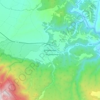
Name: Dobrinishte topographic map, elevation, terrain.
Location: Dobrinishte, Bansko, Blagoevgrad, 2777, Bulgaria (41.78108 23.52298 41.86108 23.60298)
Average elevation: 988 m
Minimum elevation: 695 m
Maximum elevation: 1,855 m
Make a donation
Other topographic maps
Click on a map to view its topography, its elevation and its terrain.