
Rogersville topographic map
Interactive map
Click on the map to display elevation.
About this map
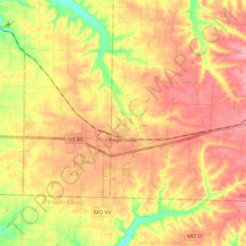
Name: Rogersville topographic map, elevation, terrain.
Location: Rogersville, Webster County, Missouri, United States (37.08881 -93.15589 37.16291 -93.00208)
Average elevation: 436 m
Minimum elevation: 375 m
Maximum elevation: 478 m