
Penela topographic map
Interactive map
Click on the map to display elevation.
About this map
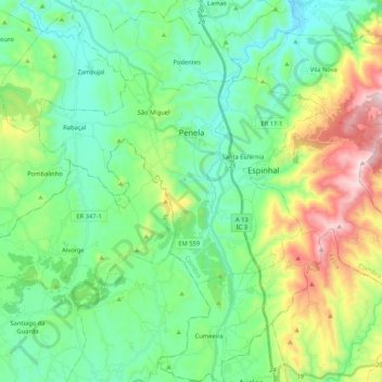
Name: Penela topographic map, elevation, terrain.
Location: Penela, Coimbra, Centro, Portugal (39.92379 -8.47459 40.08519 -8.27012)
Average elevation: 323 m
Minimum elevation: 105 m
Maximum elevation: 894 m
Other topographic maps
Click on a map to view its topography, its elevation and its terrain.