
Quero topographic map
Interactive map
Click on the map to display elevation.
About this map
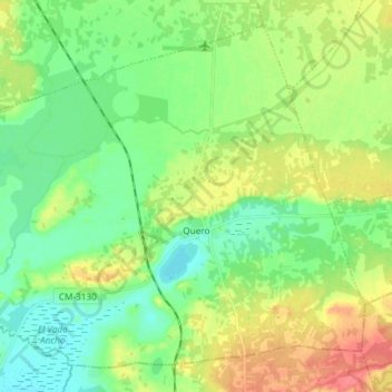
Name: Quero topographic map, elevation, terrain.
Location: Quero, Toledo, Castela-Mancha, Espanha (39.47003 -3.33114 39.56923 -3.18391)
Average elevation: 663 m
Minimum elevation: 643 m
Maximum elevation: 695 m