
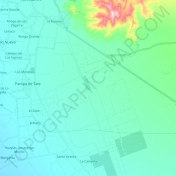
Pachacutec topographic map
Interactive map
Click on the map to display elevation.
About this map
Name: Pachacutec topographic map, elevation, terrain.
Location: Pachacutec, Ica, Perú (-14.18113 -75.69864 -14.12786 -75.59210)
Average elevation: 445 m
Minimum elevation: 376 m
Maximum elevation: 800 m