
Thank you for supporting this site ❤️
Make a donation
Make a donation
Picher topographic map
Click on the map to display elevation.
Thank you for supporting this site ❤️
Make a donation
Make a donation
About this map
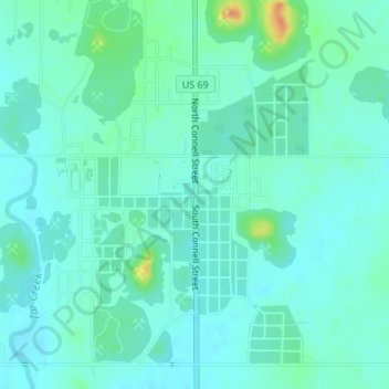
Name: Picher topographic map, elevation, terrain.
Location: Picher, Ottawa County, Oklahoma, 74360, United States (36.97438 -94.84108 36.99438 -94.82108)
Average elevation: 253 m
Minimum elevation: 244 m
Maximum elevation: 287 m
Thank you for supporting this site ❤️
Make a donation
Make a donation
Other topographic maps
Click on a map to view its topography, its elevation and its terrain.