
Thank you for supporting this site ❤️
Make a donation
Make a donation
Fosse topographic map
Click on the map to display elevation.
Thank you for supporting this site ❤️
Make a donation
Make a donation
About this map
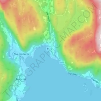
Name: Fosse topographic map, elevation, terrain.
Location: Fosse, Strandebarm, Kvam herad, Vestland, 5630, Norway (60.25225 6.01488 60.29225 6.05488)
Average elevation: 146 m
Minimum elevation: -1 m
Maximum elevation: 495 m
Thank you for supporting this site ❤️
Make a donation
Make a donation