
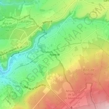
Nivezé topographic map
Interactive map
Click on the map to display elevation.
About this map
Name: Nivezé topographic map, elevation, terrain.
Location: Nivezé, Jalhay, Verviers, Luik, Wallonië, 4845, België (50.47755 5.88018 50.51755 5.92018)
Average elevation: 370 m
Minimum elevation: 258 m
Maximum elevation: 522 m