
Thank you for supporting this site ❤️
Make a donation
Make a donation
Jaten topographic map
Click on the map to display elevation.
Thank you for supporting this site ❤️
Make a donation
Make a donation
About this map
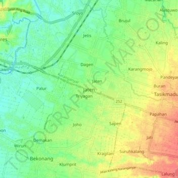
Name: Jaten topographic map, elevation, terrain.
Location: Jaten, Karanganyar, Central Java, Java, 57731, Indonesia (-7.61758 110.85556 -7.53758 110.93556)
Average elevation: 110 m
Minimum elevation: 82 m
Maximum elevation: 152 m
Thank you for supporting this site ❤️
Make a donation
Make a donation