
Thank you for supporting this site ❤️
Make a donation
Make a donation
Enaathu topographic map
Click on the map to display elevation.
Thank you for supporting this site ❤️
Make a donation
Make a donation
About this map
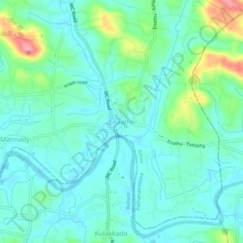
Name: Enaathu topographic map, elevation, terrain.
Location: Enaathu, Adoor, Pathanamthitta, Kerala, 691526, India (9.07083 76.73526 9.11083 76.77526)
Average elevation: 30 m
Minimum elevation: 4 m
Maximum elevation: 115 m
Thank you for supporting this site ❤️
Make a donation
Make a donation
Other topographic maps
Click on a map to view its topography, its elevation and its terrain.