
Thank you for supporting this site ❤️
Make a donation
Make a donation
Nagaon topographic map
Click on the map to display elevation.
Thank you for supporting this site ❤️
Make a donation
Make a donation
About this map
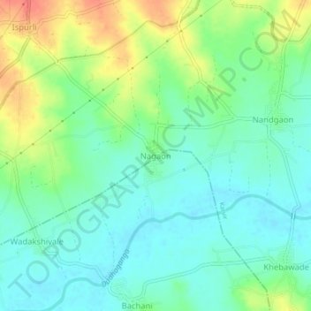
Name: Nagaon topographic map, elevation, terrain.
Location: Nagaon, Karvir, Kolhapur District, Maharashtra, 416207, India (16.52671 74.17810 16.56671 74.21810)
Average elevation: 559 m
Minimum elevation: 540 m
Maximum elevation: 597 m
Thank you for supporting this site ❤️
Make a donation
Make a donation
Other topographic maps
Click on a map to view its topography, its elevation and its terrain.