
Thank you for supporting this site ❤️
Make a donation
Make a donation
Karya Indah topographic map
Click on the map to display elevation.
Thank you for supporting this site ❤️
Make a donation
Make a donation
About this map
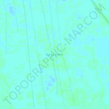
Name: Karya Indah topographic map, elevation, terrain.
Average elevation: 4 m
Minimum elevation: 2 m
Maximum elevation: 7 m
Thank you for supporting this site ❤️
Make a donation
Make a donation
Other topographic maps
Click on a map to view its topography, its elevation and its terrain.
Sungai Banyiur Utara
Indonesia > South Kalimantan > Barito Kuala > Pulau Sewangi
Average elevation: 3 m