
Thank you for supporting this site ❤️
Make a donation
Make a donation
Gottipadia topographic map
Click on the map to display elevation.
Thank you for supporting this site ❤️
Make a donation
Make a donation
About this map
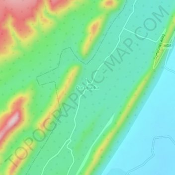
Name: Gottipadia topographic map, elevation, terrain.
Location: Gottipadia, Markapur, Prakasam district, Andhra Pradesh, India (15.70211 79.12751 15.74211 79.16751)
Average elevation: 256 m
Minimum elevation: 169 m
Maximum elevation: 473 m
Thank you for supporting this site ❤️
Make a donation
Make a donation