
Thank you for supporting this site ❤️
Make a donation
Make a donation
Hebron topographic map
Click on the map to display elevation.
Thank you for supporting this site ❤️
Make a donation
Make a donation
About this map
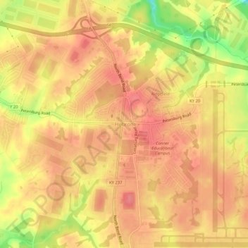
Name: Hebron topographic map, elevation, terrain.
Location: Hebron, Boone County, Kentucky, 41048, United States (39.04581 -84.72276 39.08581 -84.68276)
Average elevation: 263 m
Minimum elevation: 212 m
Maximum elevation: 283 m
Thank you for supporting this site ❤️
Make a donation
Make a donation
Other topographic maps
Click on a map to view its topography, its elevation and its terrain.